Will Be Launched Soon!!
Ideal City Map: A Complete Guide
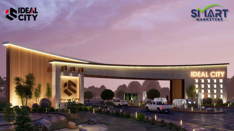
Ideal City is a modern housing project designed to provide residents with a well-planned and comfortable living experience. The Ideal City Map plays a crucial role in helping potential buyers, investors, and residents understand the layout, infrastructure, and amenities offered within the community. With a detailed map, individuals can easily locate residential and commercial plots, parks, mosques, schools, and other essential facilities.
Strategic Location and Accessibility
One of the key aspects of the Ideal City Map is its well-thought-out location. The housing project is strategically placed in a prime area, ensuring easy access to major roads, commercial hubs, and essential services. The map highlights key connecting routes, including nearby highways, making commuting convenient for residents. Whether traveling within Karachi or to other parts of the city, Ideal City ensures a hassle-free experience for homeowners.
Residential and Commercial Plot Distribution
The map clearly defines different plot sizes available within the community, catering to the diverse needs of buyers. Residential plots come in various sizes, offering options for small families, large households, and even investors looking for future value appreciation. Additionally, the commercial zones are well-integrated into the layout, ensuring that businesses and shopping centers are easily accessible. The carefully planned infrastructure ensures a balance between residential peace and commercial convenience.
Amenities and Facilities Marked on the Map
A standout feature of the Ideal City Map is its focus on essential amenities. The housing society is designed to provide a high-quality lifestyle, and the map highlights key facilities such as:
-
Parks and Green Spaces: Designated recreational areas for families and children, ensuring a healthy and pleasant environment.
-
Educational Institutions: Schools and colleges planned within the society to provide quality education without long commutes.
-
Mosques: Easily accessible places of worship for residents.
-
Healthcare Facilities: Clinics and hospitals located within the project for emergency and routine medical needs.
-
Commercial Areas: Shops, markets, and business centers for daily necessities and retail convenience.
Road Network and Infrastructure
The map illustrates the wide and well-paved road network within Ideal City. The layout is designed to minimize congestion and provide smooth traffic flow. With properly marked main roads, streets, and lanes, the community ensures a well-structured and organized infrastructure that enhances connectivity within the society.
Future Development Plans
The Ideal City Map also includes areas designated for future expansion and development. These may include additional residential blocks, new commercial zones, and enhanced facilities aimed at further improving the community’s living standards. By investing in Ideal City Karachi, buyers can benefit from the project’s long-term growth and development potential.